Maps
Location-Based Insights Give Agribusinesses a Full 360° View of Land, Producers, and Operations
Connecting Land and Customer Data with CamoAg
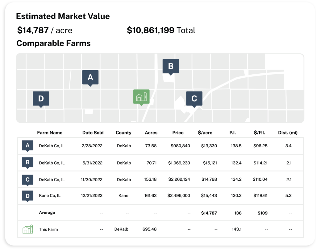
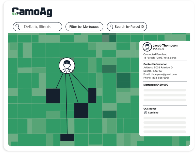
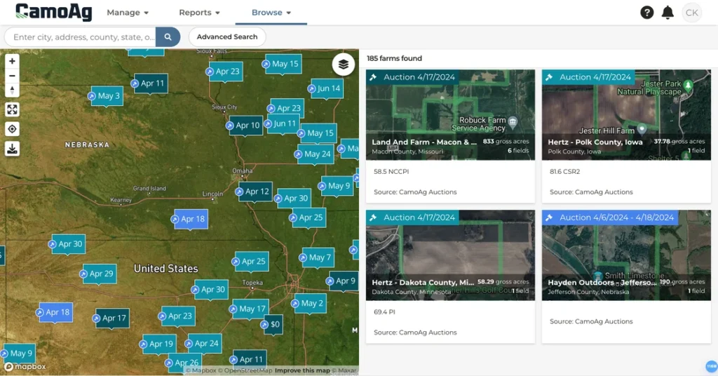
Maps and geospatial data are at the core of CamoAg’s platform. By linking customer and land data, we unlock actionable insights. CamoAg enables organizations to geospatially analyze market size, connect CRM or POS data to market share, and identify key prospects with ease. Complex tasks that were once nearly impossible are now streamlined with CamoAg.
Visualize and interact with land, customer, and prospect data.
Automatically link customer and prospect data with acres, crop history, and soil data.
Map prospects in target areas and identify growth opportunities.
Simplify complex land and producer data with an intuitive, user-friendly interface
Explore Our Map Layers
Enhance your analysis with powerful layers, including:
KEY FEATURES

Parcel Ownership and Boundaries
Nationwide plat map layer, aggregation of all acres owned by an owner(s) / entity(s) and links to other owned parcels.

Soil Data
Information on soil productivity based on SSURGO.

UCC Equipment Filings
Map recent purchases of farm equipment with Fusable subscription.

Transmission Lines
Visualize infrastructure and potential utility impacts.
Satellite Imagery
Get up-to-date, high-resolution imagery of land.

Contacts
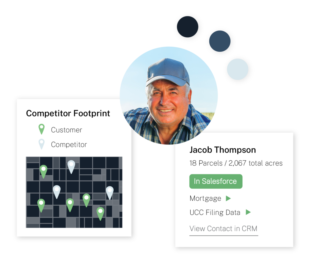
Map your contacts and customer and see how they connect to other data layers.

Mortgage Data
See the history of mortgages used to finance a particular parcel.

FEMA Flood Data
Assess flood risk and make informed land management and investment decisions.

Crop History
Identify what a producer grows on their land, or the crop make up of a certain geography.

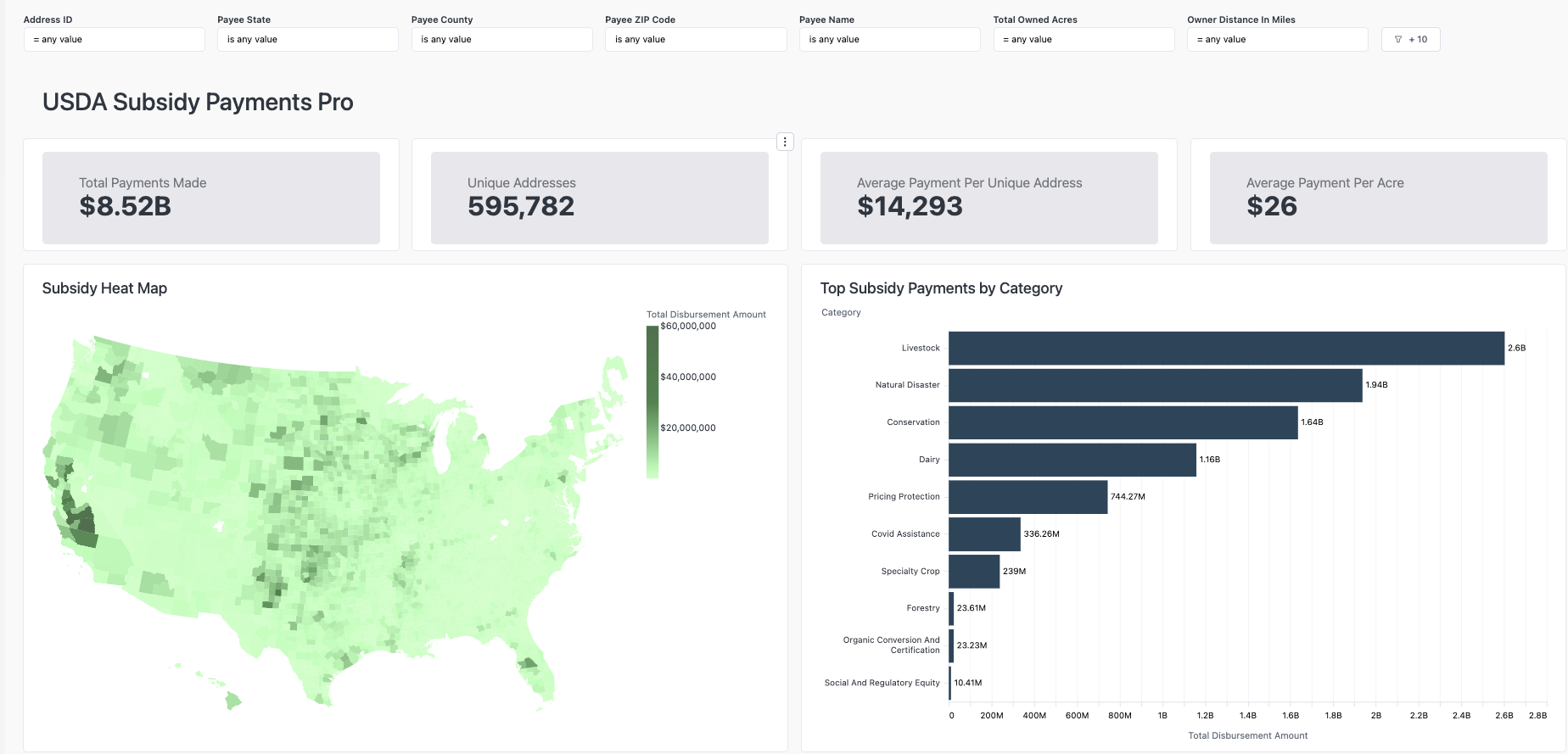
Government Payments
Map recipients of USDA program payments.

Topography
Understand the landscape with detailed elevation data.
KEY FEATURES
Unlock Better Loan Prospects
CamoAg’s Client Intelligence tool empowers agricultural lenders to identify and qualify potential loan applicants more effectively. By providing valuable insights and a deeper understanding of clients, this solution enhances marketing outreach efforts and enables more informed decision-making.

Map, Sort, and Search Current & Prospective Customers

Land Owner Data
Nemo enim ipsam volupta quia voluptas sit asperna.

Land Owner Data
Nemo enim ipsam volupta quia voluptas sit asperna.

Map, Sort, and Search Current & Prospective Customers

Land Operator Data
Nemo enim ipsam volupta quia voluptas sit asperna.

Land Operator Data
Nemo enim ipsam volupta quia voluptas sit asperna.

Map, Sort, and Search Current & Prospective Customers

Land Operator Data
Nemo enim ipsam volupta quia voluptas sit asperna.

Land Operator Data
Nemo enim ipsam volupta quia voluptas sit asperna.
What You Can Do with CamoAg Maps
Parcel Mapping
Custom Layering
Market Research
Data Integration & Enrichment
