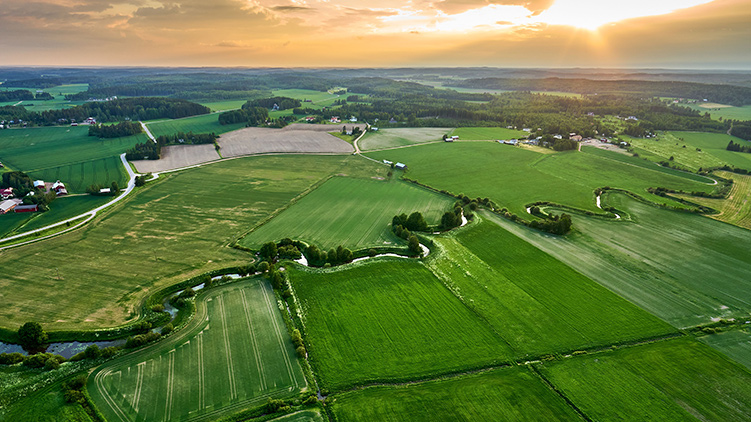
What's New in CamoAg? New Ag Data & Map Features
Ag Data Updates
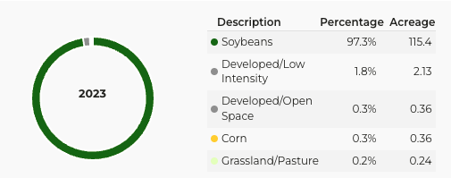
USDA 2023 Cropland Data
*Now available to all users
The 2023 Cropland Data Layer from the USDA covers all 50 states, offering comprehensive insights into crop types and land use. This update enables more informed decisions for crop planning, market analysis, and environmental assessments.
2022 Subsidy Payment Data
*Now available to all users with a CamoAg Basic or Pro subscription
2022 Subsidy payment data is now available. This data is updated in CamoAg annually after it is released by the USDA. You can view subsidy data on the maps by viewing connected information for an operator or by enabling the subsidy data layer.
CamoAg Estimate for a Farm
*Currently in beta
The CamoAg Automated Valuation Model (AVM) provides estimates and comparable sales data for parcels and farms, initially available for Illinois. This tool is designed to offer valuable insights into farm valuation, aiding in investment decisions and portfolio management. Subscription setup is required.
Contact information for Salesforce Accounts
*Available to users with a Salesforce integration
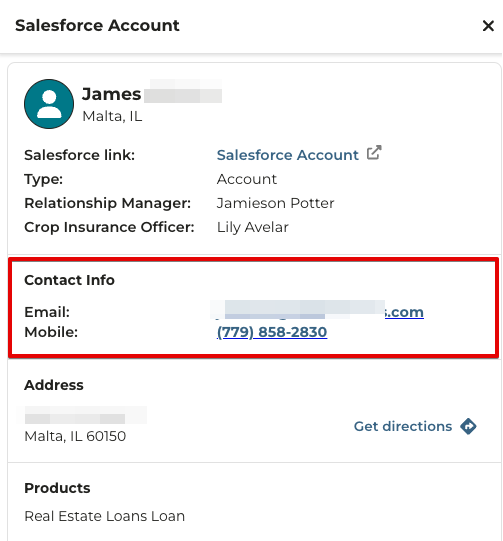
Users can now view email and phone numbers (mobile, home, and business) for Salesforce Accounts directly within CamoAg. This enhancement streamlines communication and customer relationship management, making it easier to connect with contacts.
Reporting Updates
Generate Report for a Farm
Customize and generate comprehensive reports for any farm, selecting from various information types to include. These reports can be saved to your farm documents, offering a tailored reporting experience and simplifying document management.
Revamped Mortgages Dashboard
*Available to all users with a mortgage data subscription
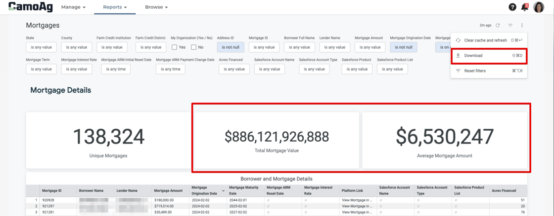
The updated Mortgages Dashboard now includes total mortgage value and average mortgage amount. The direct mail list capability has also been improved, allowing for immediate download and direct printing, facilitating better understanding of customers in one place and easier campaign execution.
Map Updates
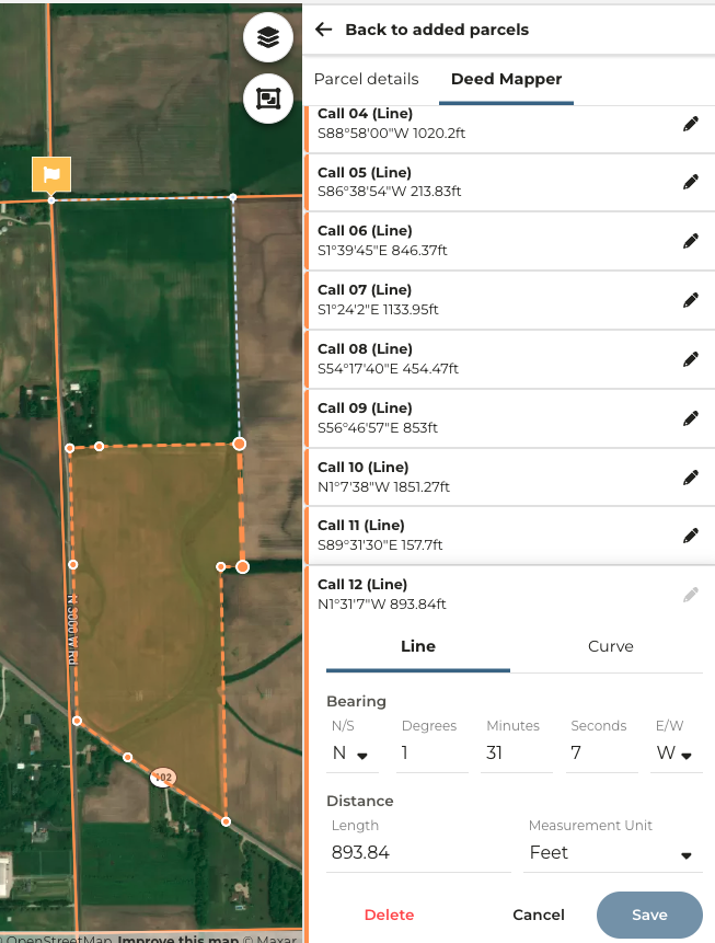
Deed Mapper for creating farm boundaries from legal description
*limited release to beta users via feature flag
The Deed Mapper enables the creation of precise farm boundaries based on legal survey descriptions. This tool ensures that farm boundaries match legal documents exactly, improving the accuracy of farm maps and records.
Right-click functionality on maps
*released to all users with limited options based on feature
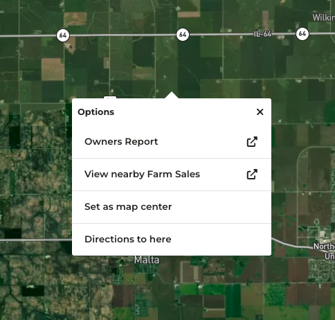
Enhanced map interaction is now available to all users, with options varying by feature. New right-click (or tap-and-hold on mobile) menu options include opening the Owners Report for a selected area, viewing nearby farm sales, setting a map center, and getting directions. This update improves navigation and access to information directly from the map interface.
This monthly series will demonstrate new features that have been released so your organization stays up to date on the latest and greatest that CamoAg has to offer! Click on the button below for more information and to sign up.
Next Session: March 27th at 9:30 AM PST.

