What's new in CamoAg: April
We’re excited to share the latest from our team. Read on to learn more about what product features were released and featured use cases for our platform.
What’s New?
Data Updates and Enhanced Features
Our Ag-Specific dataset is central to the CamoAg platform, supporting sales, marketing, appraisal, and farm management workflows. We continuously update and expand our first- and third-party data, ensuring you have the most accurate information available, all within a single platform, no matter your use case.
Upcoming Auction Feed Now Available
Ohio Data Now Available from the Land Sales Bulletin
Ohio farm transaction data is now available to our State transaction data service subscribers. This verified sales data is invaluable for users conducting market or comparative market analyses (CMAs), offering higher accuracy and reliability.
Click the button below to subscribe to this data:
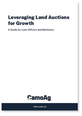
Whitepaper:
Land Auction Data
Maximize growth through land auctions with CamoAg’s guide for loan officers and marketers, leveraging unique data for strategic outreach.
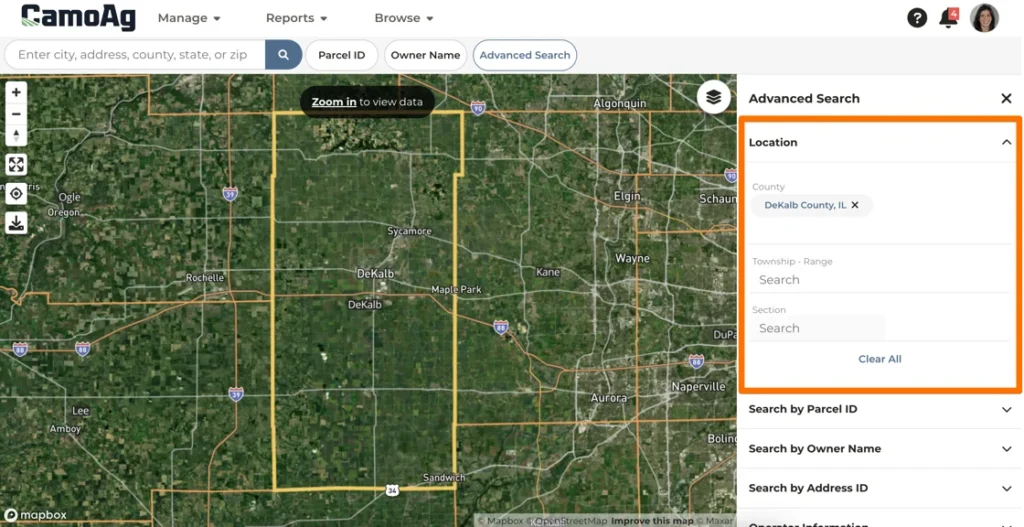
Map Updates
Our maps provide a powerful way to interact with CamoAg data for land context. Use them to create and manage your farms or find new customers within a specific territory or distance.
Section Township Range Location Search
*released to users with a CamoAg Basic or Pro subscription
You can now search by Section, Township, and Range under “Advanced Search” for all maps, including the Sold Farms map. For detailed instructions, refer to our Section Township Range Location.
Acreage Discrepancy Softened for Acreage Entry
When editing acres, we’ve updated the allowable acreage discrepancy from 5% to 20%. Now, acreage can be adjusted to within 20% of the total drawn acreage. This change provides more flexibility in farm mapping and accommodates minor discrepancies due to drawing and field data variations.
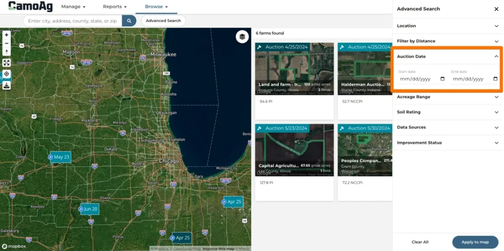
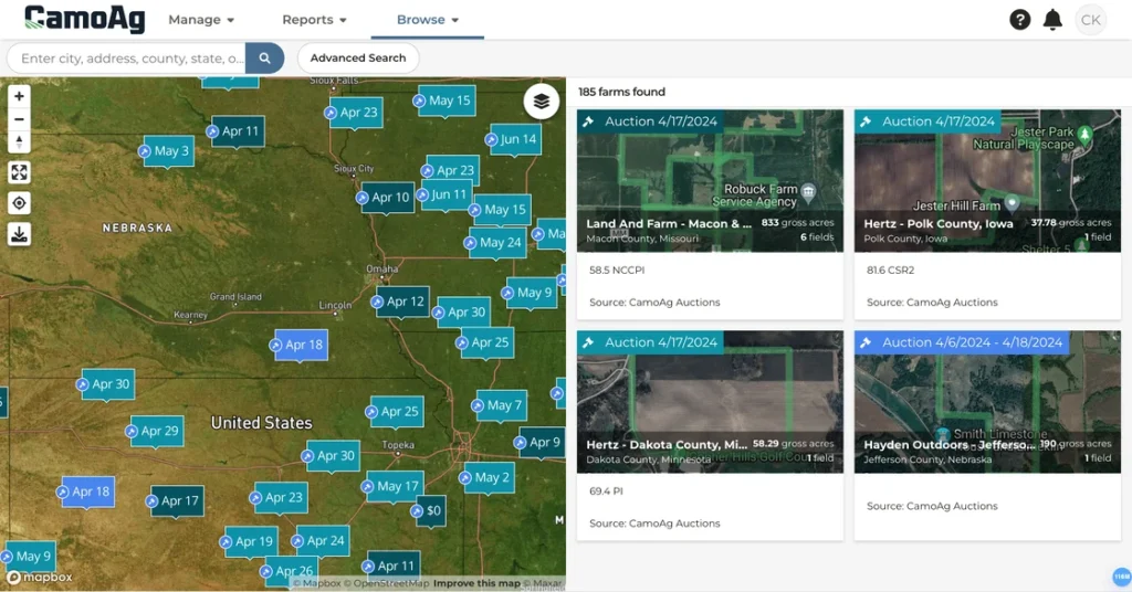
Updated Markers on the Farms for Sale Map
We’ve updated the markers on the Farms for Sale map for better clarity:
- Light Teal: Upcoming Auctions (auction start date is in the future)
- Bright Blue: Currently Accepting Bids (auction is active, with start and end dates and the current date is within this range)
- Darker Teal: Closed (auction has ended, but no sale data is recorded)
Get Started for Free
The Basic plan allows users to search and save farms in the map, create private comps, market analyses and more.
Sign Up